FAA Part 107 Drone Construction Documentation.
Aerial coverage with mapped, repeatable flight paths keeps every month's drone shot lined up with the last. We are not a hobbyist with a Mavic. We deliver construction documentation, not just pretty footage.
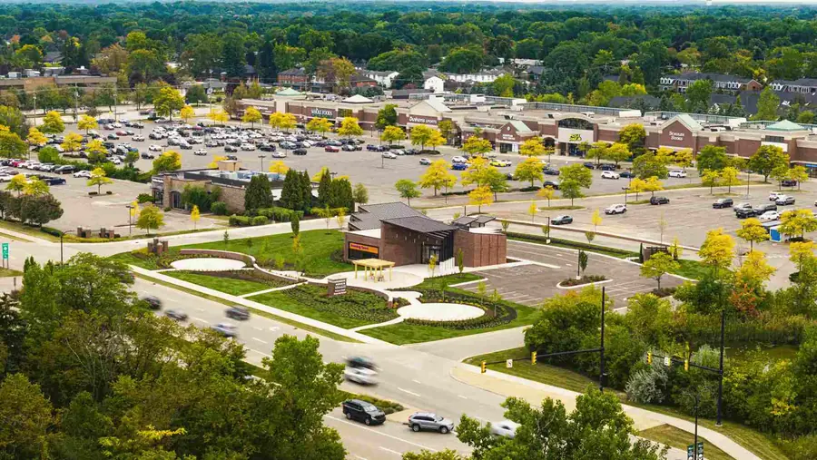
 Aerial Progress
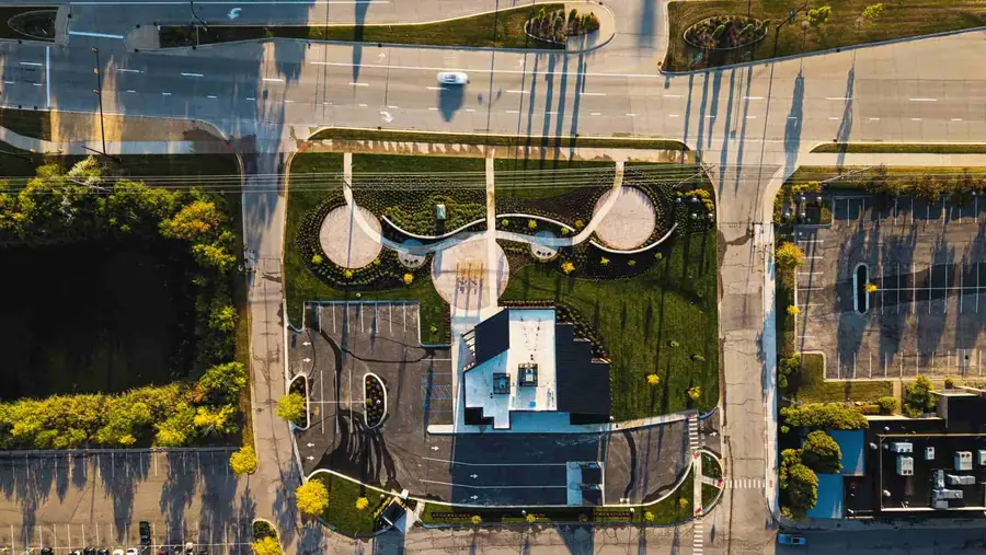 Site Context
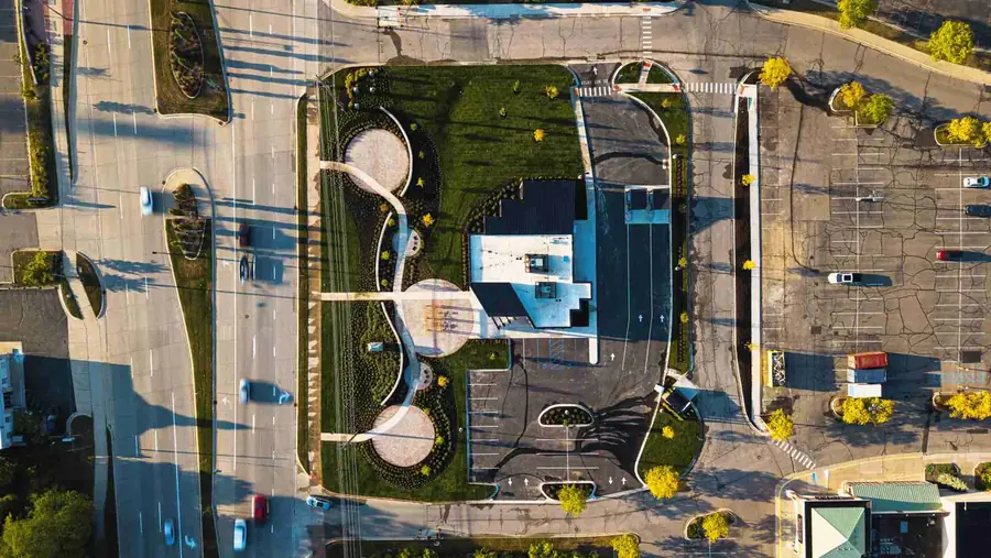
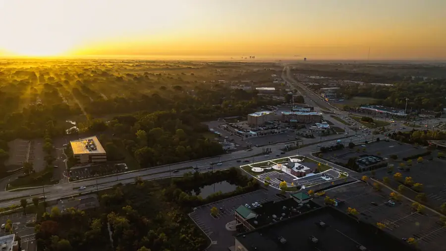 Rooftop & Envelope
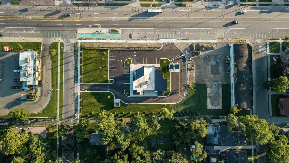 Birds-Eye View
Use cases
When teams use this.
Site-wide progress updates
Roof and envelope progress
Investor reports
Remote owner reviews
Multi-building commercial sites
Deliverables
What you get.
FAA Part 107 aerial photography
Mapped repeatable flight paths
Drone stills sized for decks and reports
Optional short aerial video clips
Airspace checks and LAANC authorization when needed
Process
How it works.
Scope the job
We confirm the project phase, access rules, reporting deadline, drone feasibility, and the buyer questions your deliverable has to answer.
Capture the proof
We coordinate with the superintendent and capture ground, aerial, milestone, or completion assets without slowing crews.
Deliver the record
Files are edited, labeled, and delivered in 48–72 hours with exports ready for OAC meetings, lender draws, and stakeholder updates.
Scope & Pricing
Pricing and scope guidance.
Scoped per project based on airspace, site size, flight frequency, and deliverables.
No public dollar figures are published because cadence, access, drone feasibility, and reporting needs change the scope.
FAQ
Service FAQ.
Are you FAA Part 107 licensed?
Yes. Drone work is performed by an FAA Part 107 licensed pilot with insurance available by COI.
Can you fly near airports?
Sometimes. We check airspace and file LAANC authorization when required.
Do you provide the same angle each month?
Yes where site and airspace conditions allow. Repeatability is part of the shot map.
What happens if drone is not allowed?
We adjust the plan to ground-only coverage and capture elevated context where possible.
Also available
Related services.
Your owner, lender, and OAC team need consistent visual proof every month. We show up on schedule, hit the same angles every visit, and deliver organized photos and aerials in 48-72 hours.
View service
Ground Progress PhotographySame-angle progress photos build a clean visual timeline of your project from groundbreaking to closeout. This is the photo set your owner asks for, and your draw inspector trusts.
View service
Get started
Ready to document your project the right way?
Tell us about the project phase, access constraints, and what the deliverable needs to answer — we'll scope it within 24 hours.